
How to Create a Photo Travel Map
I have several items on my bucket list. One that I decided on after S was born was to take her to visit all 50 states before she graduates from high school. That does not mean driving through a state. It means actually exploring the state…visiting museums, state parks, tourist attractions, etc. I believe that exposing S to different experiences, activities and travel is very important.
When we decide on our next state to visit, I am the one that does all the research, but then I ask my husband and S what they would like to do from my research. We try to get a good mix of experiences while in a state. We also try out local restaurants with no chains that are in our area.
When we decide on our next state to visit, I am the one that does all the research, but then I ask my husband and S what they would like to do from my research. We try to get a good mix of experiences while in a state. We also try out local restaurants with no chains that are in our area.
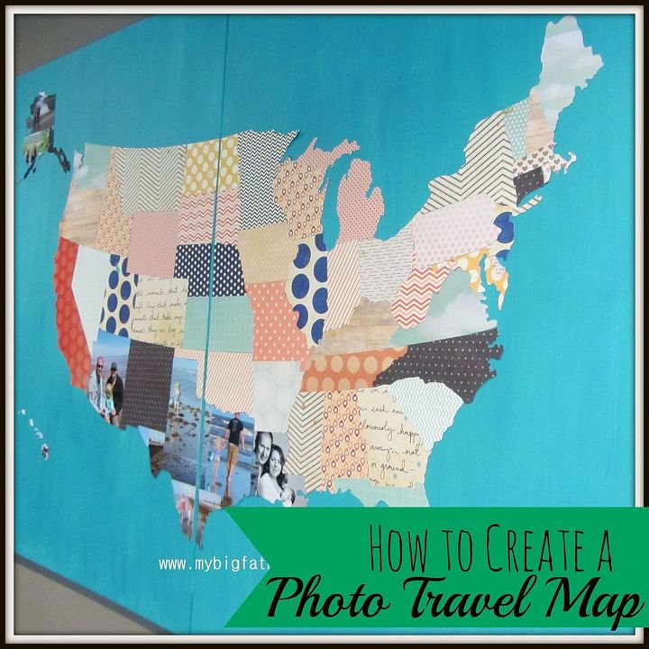
We have been lucky enough to have already visited Alabama, Arizona, Florida, Louisiana, Minnesota, Texas, Wisconsin and the two farthest Alaska and Hawaii. Nine out of fifty is not too bad since S is only 4.
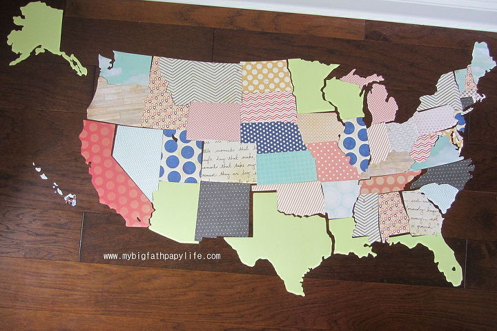
Cutting out the States

Want more details about this and other DIY projects? Check out my blog post!
Comments
Join the conversation
4 of 27 comments
-
This is sure made of memiories to cherish♡
-
SO Cleaver U R. Love this idea. So how old is S now? lol


Frequently asked questions
Have a question about this project?